
The Problem with Perfect Data
Many of us have spent our careers trying to make geospatial data better. Cleaner. More precise. More “analysis-ready.” We’ve placed a premium on imagery that’s been pre-processed, normalized, and collected under ideal conditions: cloud-free, well-lit, and perfectly aligned to nadir.
In this pursuit of perfection, have we inadvertently constrained the very data we depend on? Have we trained models to ideal conditions and, in doing so, made them fragile and introduced unnecessary lag?
The reality is, the world doesn’t wait for perfect conditions. If we continue to do so, we risk missing important details.
Take low-nadir imagery, the go-to for those wanting orthorectified views or vectors from directly overhead. But what about the 57° oblique shot that happened to capture activity at the edge of frame? Or the cloudy image that still revealed a key signal between breaks in clouds? Or the lower-res pass that arrived first and could have tipped us off sooner?
Then there’s highly-processed data that is designed to remove uncertainty and standardize across sensors, time, and locations. There’s no question that it is valuable, but it comes at a cost: time. In fast-moving or high-stakes situations, by the time processing workflows complete and the finished data product gets delivered, the moment that matters may have already passed.
When models and workflows depend on heavily conditioned data, enormous volumes of valuable information get thrown out. That slows everything down and creates brittle systems that struggle the moment something deviates from “ideal.”
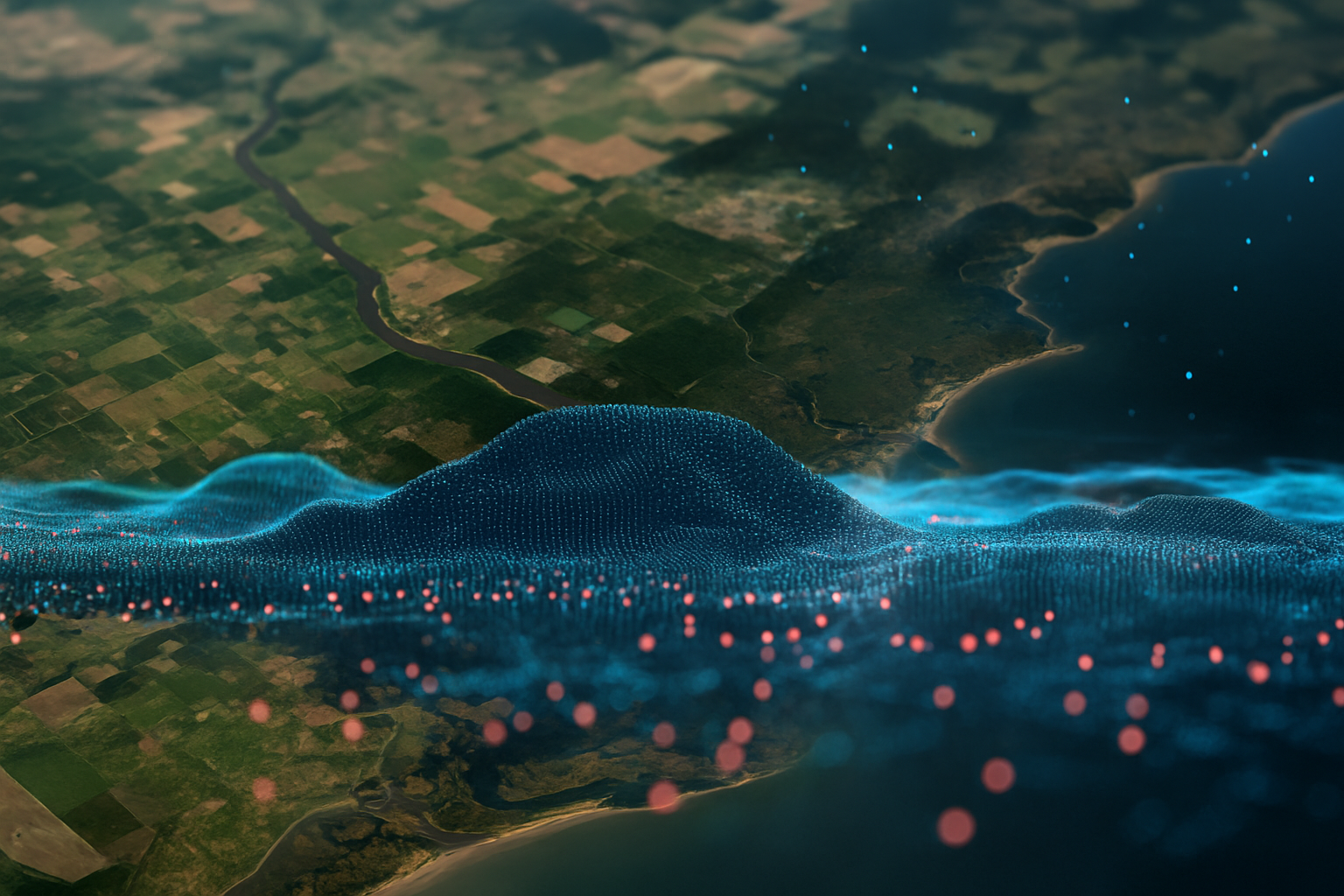
Perfect is the Enemy of Good (and Fast)
Every time an image is discarded for not meeting stringent criteria, we lose context.
Sometimes, the most valuable insight is hiding in the imperfect parts, the sliver of image that wasn’t filtered out, the lower-res capture that arrived before the storm, or the noisy pass that caught a pattern the “clean” data missed.
And even if, let’s say, perfection is achieved, it doesn’t last long. A “perfectly tuned” single-purpose model built on specific parameters will break the moment those parameters shift (and they always will). Targets morph. Weather changes. Activities cross domains. The world evolves.
The systems that thrive are the ones built for reality. Ones that adapt, evolve, and make sense of the world and the data available as it is, not whatever our current idea of “perfection” happens to be.
Building for Reality
There’s a shift underway in geospatial analysis and situational awareness that embraces the world as it is. Instead of rejecting messy, unlabeled, or unstructured data, newer approaches are learning from it.
Through self-supervised pretraining techniques like masked auto-encoders, Bedrock’s foundation models can find structure and meaning in imperfection. They learn from diversity: different angles, resolutions, lighting conditions, spectral bands, modalities, etc.
This mix of data actually strengthens performance. When fine-tuned for specific real-world applications, these models are not only faster but more resilient, able to generalize across conditions, sensors, and domains.
The result isn’t just speed; it’s resilience. A system that can reason across the full spectrum of real-world data can surface insights while others are still waiting for their next clean scene to arrive, hundreds of new training data examples to be generated, or a series of image-enhancing processes to complete.
Discover how Bedrock’s geospatial foundation models make sense of the world as it is.