
One Model. Unlimited Possibilities.
Bedrock's AI-powered solutions support missions across many domains. Whether you're tracking vessel patterns across oceans, detecting military buildup in contested regions, or identifying changes to remote energy infrastructure, we help surface important signals and explain what’s changing in real time.
Our geospatial foundation model is trained across varied geographies, mission types, and sensor modalities, making it production-ready and flexible enough to fully deploy within weeks and evolve with missions over time. We’re particularly well-suited to support sectors with global reach, dynamic, denied, or deceptive environments, and time-sensitive challenges.
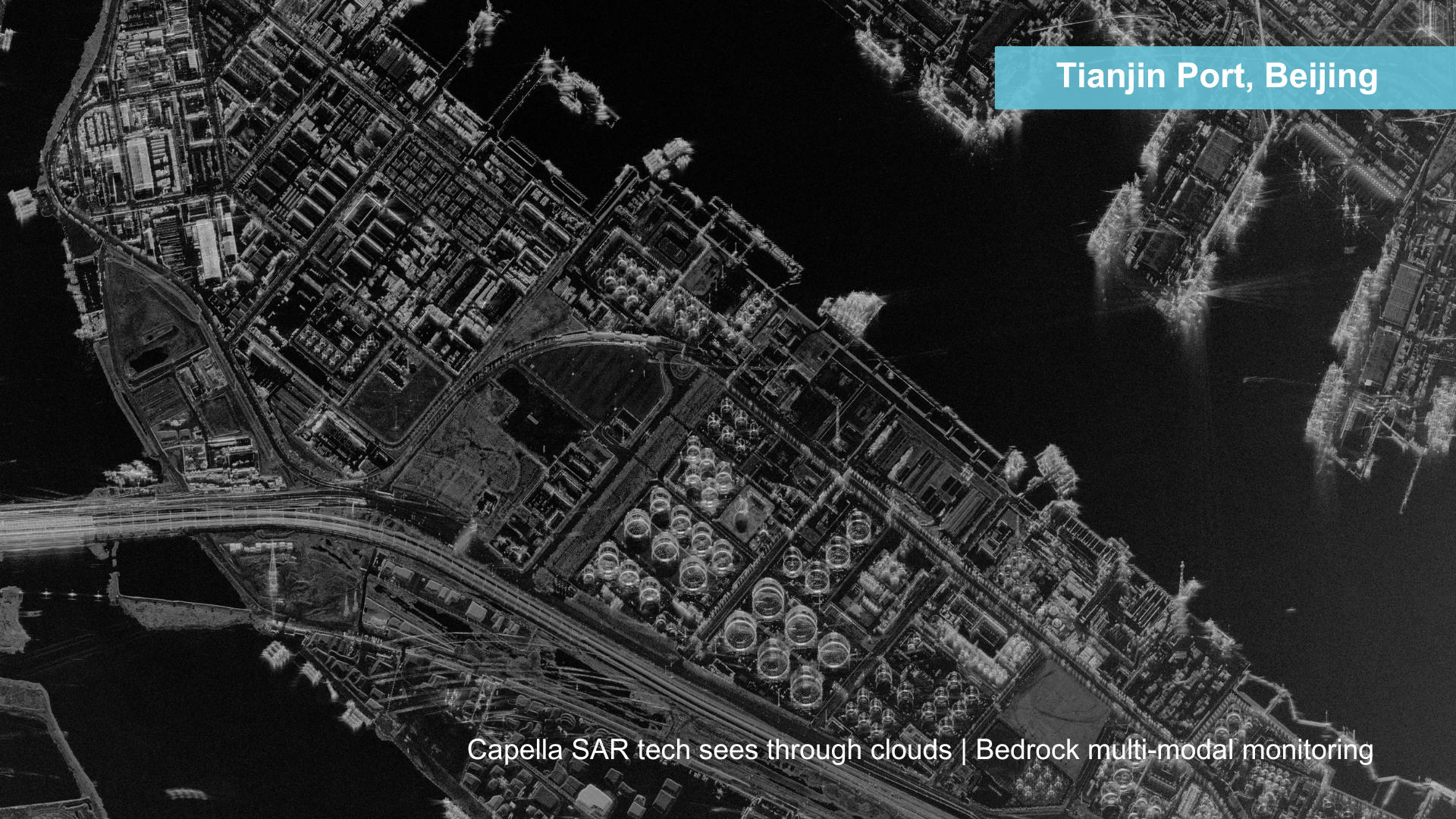
Bedrock’s ability to rapidly ingest, fuse, and semantically annotate over 15 sensor types—including EO, SAR, 3D, SCADA, RF, AIS, thermal, weather, FMV, IoT, open-source data, and analyst inputs—gives us the reach and responsiveness to serve missions ranging from real-time ISR to energy infrastructure monitoring. Whether you need to monitor five sites or 500, Bedrock delivers high-confidence, explainable insight at scale.
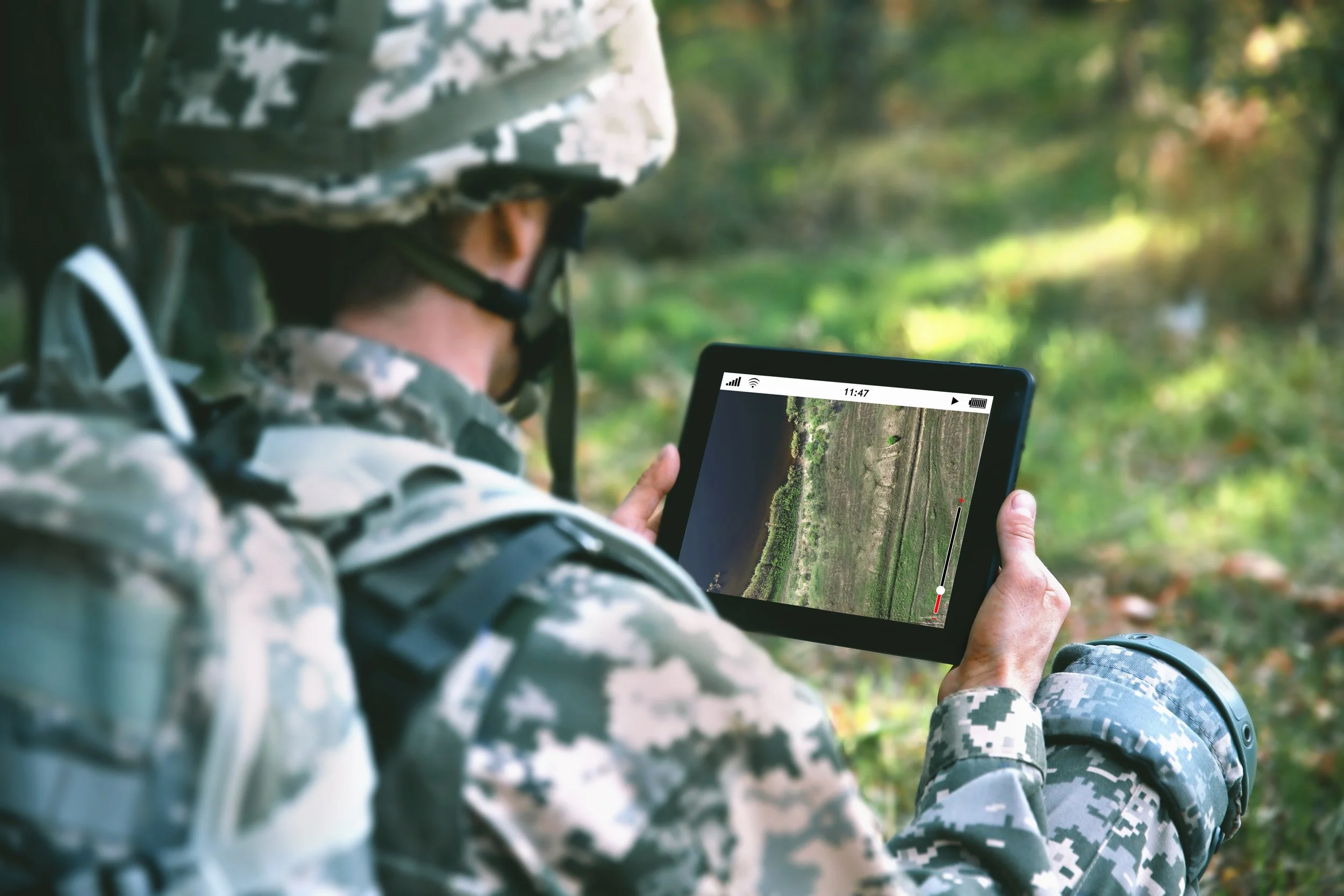
Defense & Intelligence

Supply Chain & Logistics

Maritime Operations

Environmental Monitoring
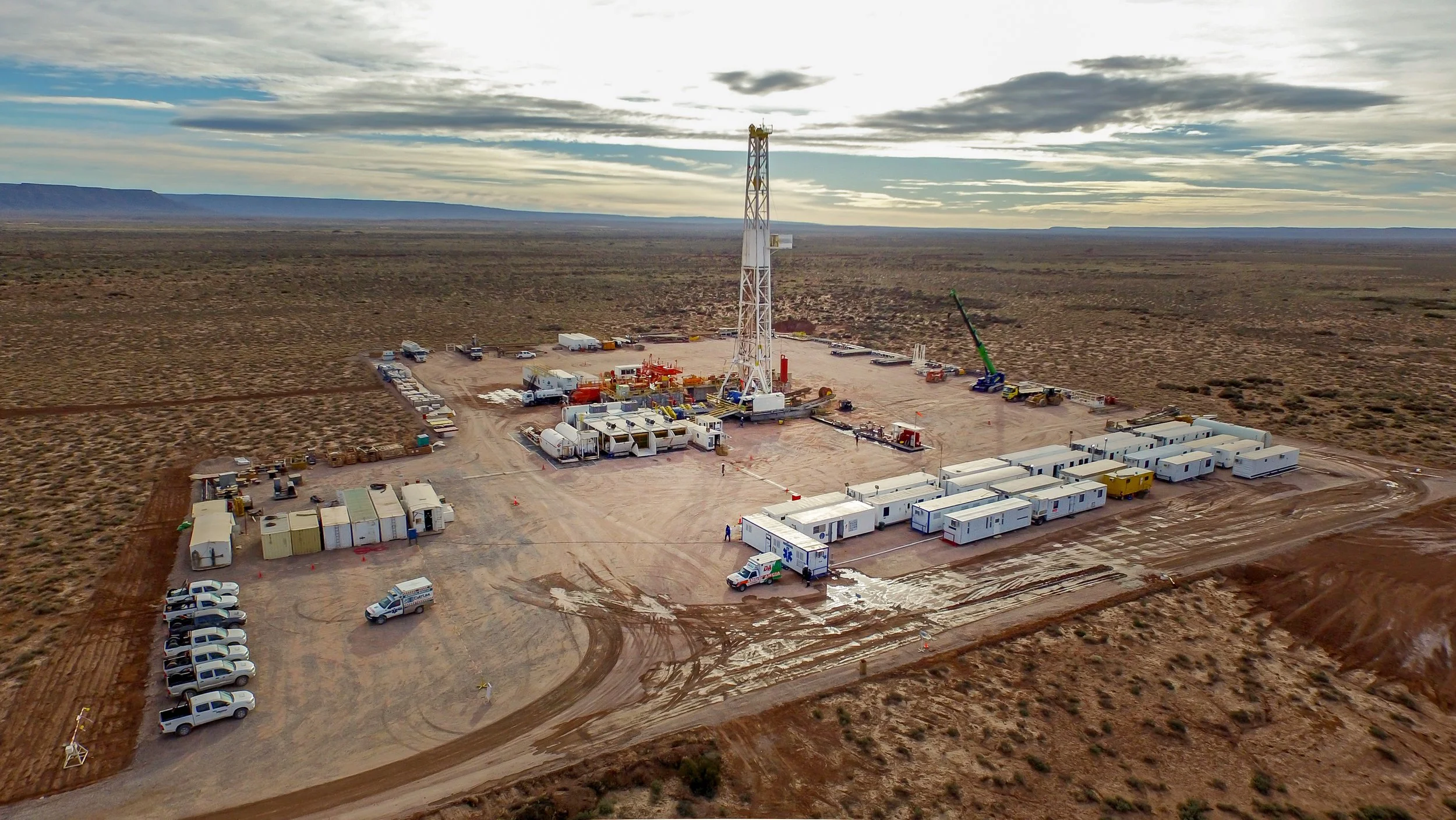
Energy & Infrastructure

Construction Oversight
Are you a data or analytics provider?

Seamless Data Fusion, Smarter Decisions
Bedrock seamlessly ingests and fuses data from over 15 distinct sources to surface only the most mission-relevant change. Our solution is sensor-agnostic, scalable, and flexible across use cases.
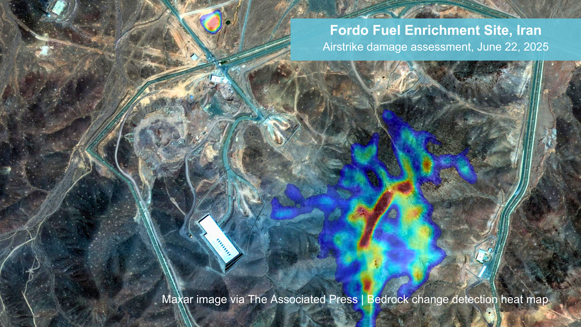
Beyond Change Detection
Most systems stop at pixel-level change, which is often noisy and limited. Bedrock goes further, looking across sensors and objects to surface mission-relevant activity and layering in semantic context to show how it changed and why it matters.