
From Intercepting Deforestation to Disaster Response
Environmental Monitoring
Environmental change is constant, but the tools to monitor it haven't kept up. Bedrock delivers AI-powered insight across forests, watersheds, coastlines, deserts, and agricultural zones. Whether you're combating illegal deforestation, assessing wildfire risk, or evaluating the impact of climate extremes, Bedrock offers persistent, real-time visibility to help you respond faster.
Trained on diverse terrain, seasons, and sensing modalities, Bedrock’s core foundation model detects both gradual environmental shifts and rapid-onset disruption. Our solution enables conservation groups, climate researchers, insurers, and regulators to assess environmental change through a fused, single-pane view, so they can anticipate consequences and act early.
Real-world applications:
Detect land degradation, illegal land use, or encroachment
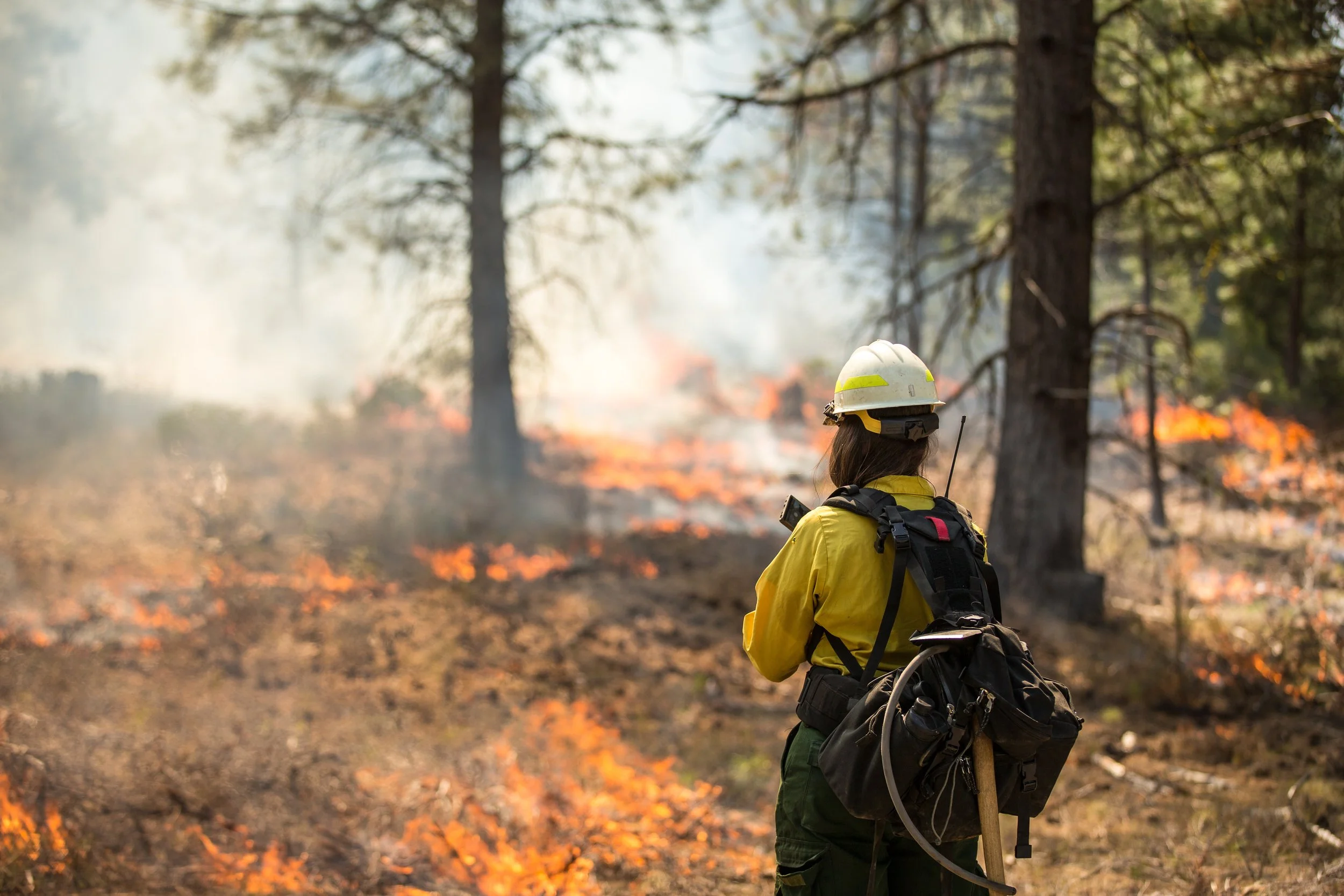
Assess wildfire risk and detect ignition points
Monitor protected areas for human or environmental disruption
Analyze coastal erosion or shifting shorelines
Evaluate ecosystem impacts after disasters or climate events
Example data inputs:
Synthetic Aperture Radar imagery (SAR)
Electro-Optical imagery (EO)
Thermal
Digital Elevation Model (DEM)
Radio Frequency (RF)
Full-Motion Video (FMV)
Open-Source Intelligence (OSINT)
Climate and environmental datasets