
Measuring What Matters in Geospatial Intelligence
How Traditional Models Measure Performance
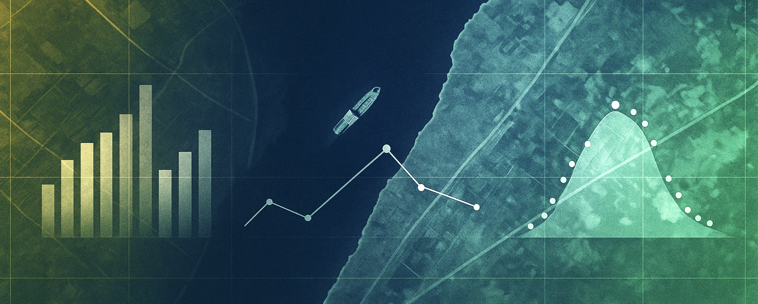
For decades, single-purpose models have been measured by how accurately they identify known objects in known conditions. A ship detector, for example, is trained on thousands of labeled images where every vessel is already annotated. When that model runs on a test dataset, it is scored using two common metrics: precision and recall.
Precision answers, “Of all the things the model said were ships, how many actually were?” Recall answers, “Of all the ships that were really there, how many did the model find?”
In tactical terms, high precision means fewer false alerts, while high recall means fewer misses. These metrics work well in tightly controlled, labeled environments where the truth is already known.
Why These Metrics Fall Short for Real Applications
Precision and recall start to break down when the world itself becomes the variable. Inevitably, targets morph and shift into new locations. Areas of interest themselves can change dramatically, and sometimes less-then-perfect data collections are downlinked and delivered.
Because of this, Bedrock’s foundation model is not trained on one dataset or one task. Instead, it learns directly from vast, diverse data across multiple sensors, such as EO, SAR, RF, AIS, and text, using unsupervised and self-supervised learning. Our goal is not to classify ships or buildings based on predetermined datasets, but to understand the relationships and signals that connect different features across modalities and operational domains.
In that context, precision and recall lose meaning because there is often no fixed ground truth. The model’s purpose is to discover what is new, not confirm what is already known. In denied or deceptive environments, analysts might not even know what “positive” looks like until after the model surfaces it. Bedrock’s models are also continuously adaptive. They evolve with new data sources, sensors, and missions, meaning a model that performs well in one geography can transfer its understanding to another without retraining.
Traditional metrics cannot capture that kind of adaptability or cross-sensor reasoning. Counting true and false detections becomes impossible when the reality on the ground is still unfolding.
Redefining Quality in Operational Terms
While precision and recall can be useful when ground truth is available, Bedrock prioritizes measuring effectiveness through real mission outcomes. We define quality by:
Time-to-decision, or how quickly the system detects a relevant pattern, rare target, or other relevant activity, enabling analysts, operators, and decision makers to respond confidently.
Utilization of available data, capturing how effectively the model leverages all inputs, including lower-quality or partially degraded sources. While traditional models often rely on “ideal” data and discard anything less than perfect, Bedrock integrates and learns from it, producing a more continuous, complete understanding of the operational environment.
Reduction in analyst burden, measured by how much noise and redundant data are filtered out.
Cross-domain robustness, reflecting how easily one model adapts to new regions and data types.
Correlation to mission outcomes, showing how often our detections align with verified events or analyst-confirmed findings.
This shift does not mean we ignore rigor; it means we redefine it to match real-world complexity. In operational settings, the value of an AI system is measured by how fast it helps a team act, how often it finds something relevant that’s new or unexpected, and how reliably it adapts when conditions inevitably shift.
While precision and recall aren’t the right metrics for modern geospatial intelligence solutions, Bedrock’s models still provide end users with meaningful ways to assess confidence in outputs and understand mission-relevant context, such as the significance or magnitude of detected change.
The Path Forward
Precision and recall will always have a place in research, but they are not the right lens for open-world, mission-driven intelligence. Bedrock’s foundation model was designed for the uncertainty of real operations, where the question is not “How accurate is the model?” but “How quickly and confidently can it surface what actually matters?”
This approach delivers enduring advantages in speed, adaptability, and scale, which are critical for staying ahead of emerging risks. Our pre-built models deploy in days-to-weeks, not several months, and adjust seamlessly, as needed, to new missions and sensors without the need for additional training or manual labeling. For example: the same foundation that detects maritime anomalies can also monitor construction progress or track infrastructure change, because it understands patterns across the physical world, not just within a single dataset.
These qualities ensure that insight arrives faster, not just more accurately, turning raw data into real situational awareness precisely when it matters most.